Approach and lights
Enter on the leading line, 312°, from the fairway buoy. The channel is dredged to 2.0 m and open at all states of tide.
Drawn for this practice site. Not for navigation. Use an official chart.
Lights
- Holm Scar
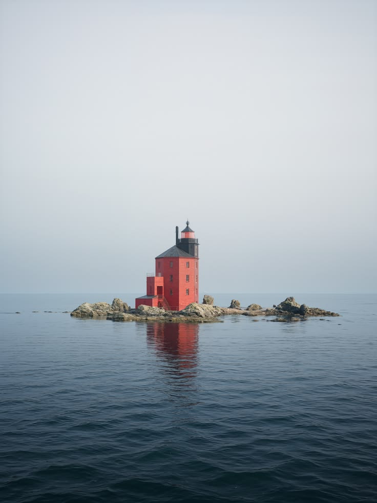
- Fl(2) W 10s 18m 12MWhite tower on the rock, 1.1 nautical miles south-west of the entrance
- East breakwater head
- Fl G 3s 7m 4MGreen post
- West breakwater head
- Fl R 3s 7m 4MRed post. Unreliable, see notice 23/2026
- Leading lights
- Oc W 4s, front 9m, rear 21mFront on the Fish Quay, rear on the church tower. In line on 312°
- Fairway buoy
- Iso 10sRed and white vertical stripes, red ball top mark
Pilotage
- From the westPass south of Holm Scar by at least 0.3 nautical miles. Rill Sands dry 2 m and extend 0.6 nautical miles from the shore.
- Fairway buoyCall Holmscar Harbour on Ch 12. Turn onto 312° with the leading lights in line.
- ChannelBuoys No. 3 to 6. Dredged 2.0 m. Keep to starboard; fishing boats leave at all hours.
- Breakwater headsEntrance 60 m wide. Strong cross-set on the ebb, up to 1.5 knots east to west.
Dangers
- Holm Scar: rock awash at low water springs, 0.2 nautical miles around the light.
- Sunken mooring block off the slipway, 0.4 m at datum. Yellow buoy. Notice 16/2026.
- Dredger in the channel, Mon 12 to Fri 23 October. Notice 22/2026.
- Swell breaks on the bar off Rill Sands in south-westerly gales.